
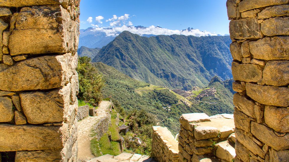
Quick answer
The short Inca Trail trek climbs from roughly 2,100 m above sea level at its river-level start to about 2,720 m at Inti Punku, the Sun Gate — a net gain near 600 m over roughly 12 km. Machu Picchu itself sits lower, close to 2,430 m. Readings vary by device: barometric altimeters drift in humid cloud forest.
Hikers on the short route spend the entire trek below the altitude of the city they arrived in. Cusco sits near 3,400 metres above sea level. The two-day walk never climbs much past 2,720 metres. That comparison is the first thing a 2 day Inca Trail hike elevation map reveals, and it separates this route from the classic four-day profile, where Warmiwañusca — Dead Woman's Pass — spikes beyond 4,200 metres. The short trek trades thin air for gradient. Two charts of the same Camino Inca corto rarely agree. Consumer GPS units estimate height from satellite geometry and wander by tens of metres under tree cover. Barometric watches read air pressure, and pressure falls when weather moves in, so a wet morning can invent a climb that is not there. Distance axes distort the picture further: compress the horizontal scale and a moderate staircase becomes a wall. Readers comparing a short Inca Trail elevation profile from two operators are usually looking at the same terrain drawn at different exaggerations. Cumulative ascent is the more useful number, because the trail undulates and net gain hides the repeated small climbs. Altitude, then, is not the difficulty on this route. Humidity is. The trail runs above the Urubamba River through cloud forest, where stone staircases and switchbacks arrive in sequence and the air stays heavy. Rain lingers in the vegetation long after the sky clears, and the descent toward the ruins is as hard on the knees as the ascent is on the lungs. A profile that looks gentle beside Andean passes still asks for several hundred metres of vertical gain on uneven Inca paving, carried in a single day. Travellers who arrive through Cusco and the Sacred Valley acclimatise well above anything the walk demands, which is a useful margin rather than a reason to skip preparation. Use the chart as a fitness check, not a route brief. Peru's Ministry of Culture publishes the official network information for the Camino Inka at machupicchu.gob.pe, and any one-night Machu Picchu trek altitude chart is best cross-read against that source. Permits are limited and dated, so the profile matters only once a departure is held. The chart answers one question well — how much climbing, over how far — and leaves the rest to the sections that follow. Read the 2 day Inca Trail hike elevation map for what it measures: effort per kilometre, not oxygen.
“Altitude is not the difficulty on this route. Humidity is.”
2 Day Inca Trail Hike Elevation Map: Typical Route Sequence and Timing
This plan suits reasonably fit walkers doing the short Inca Trail as a two-day trip, covering roughly 12 km of trail on day one plus a short pre-dawn ascent on day two. Expect about 6-7 hours of walking on the first day and 1-1.5 hours on the second.
Km 82 checkpoint start
Cross the footbridge over the Urubamba at around 2,600 m and begin walking on gently undulating riverside track. Allow 20-30 minutes for the permit and passport check before the trail proper.
Riverside stretch, gradual gain
The first two hours climb slowly along the valley floor, gaining only a few hundred metres. Use this flatter opening to set a sustainable pace rather than pushing hard.
Steepest sustained climb
The profile turns sharply upward toward roughly 2,700 m over a shorter distance; this is the hardest hour of the trek. Break it into 20-minute efforts with short standing rests rather than long sit-downs.
High point, then descent
After the day's highest ground the trail loses altitude steadily toward the valley, dropping several hundred metres over two to three hours. Descending stone steps is where knees suffer most, so poles help more here than on the climb.
Down to Machupicchu Pueblo
A short rail transfer from the trail exit brings you to Machupicchu Pueblo at about 2,040 m for the overnight. Build in 30-45 minutes of waiting time around the transfer.
Bus or walk up
Ascend from the town to the site entrance level, either by shuttle road or on foot. The walking option adds roughly 400 m of climb and 60-90 minutes.
Sun Gate then entrance
From the entrance area a moderate climb reaches the Sun Gate at about 2,720 m in 45-60 minutes, then you descend into the citadel. Carry water for this leg; there are no refill points once inside.
2 Day Inca Trail Hike Elevation Map: Key Landmarks Along the Route
These landmarks are the easiest way to read the 2 day Inca Trail elevation profile on the ground. Use them to connect the climb, the flatter recovery stretches, and the final approach into Machupicchu.
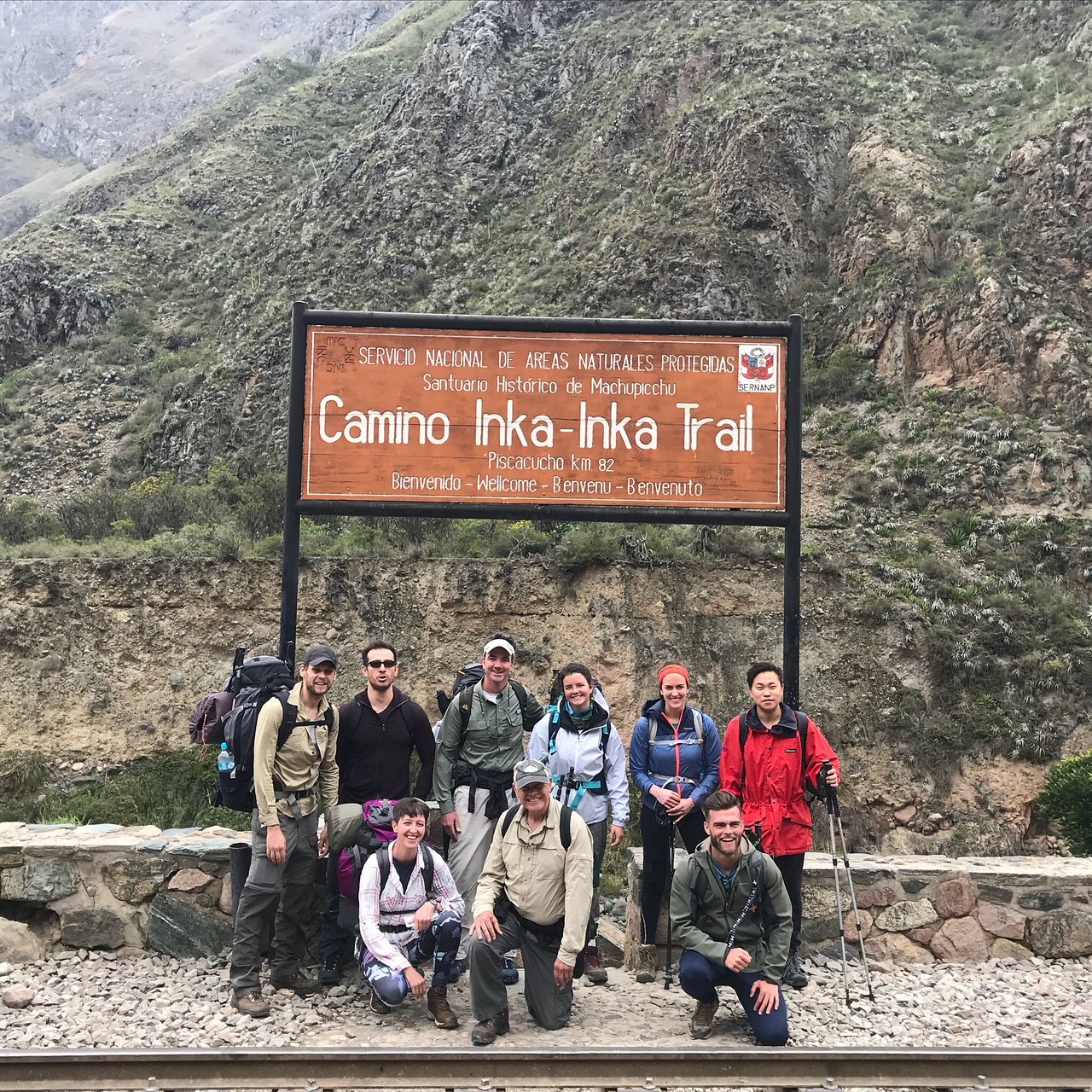
Piscacucho Km 82
This is the trail’s starting point, so it sits at the low end of the route profile before the long climb begins. It is the reference point hikers use when they first compare trail grade to distance.
Start with a quick altitude check
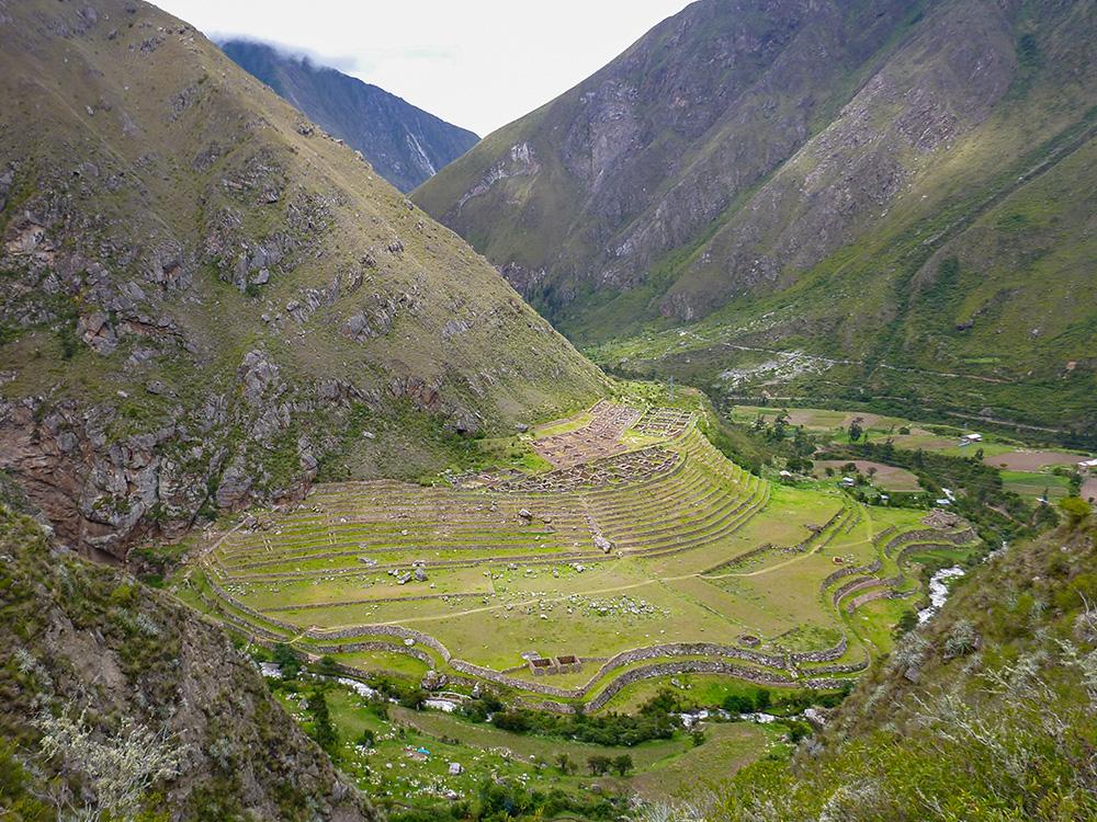
Llactapata
Llactapata is the first major archaeological stop that helps break up the uphill effort with a clear rest point. On an elevation map, it marks the moment where the route feels less like a single ascent and more like a sequence of climbs and pauses.
Pause before the next sustained rise
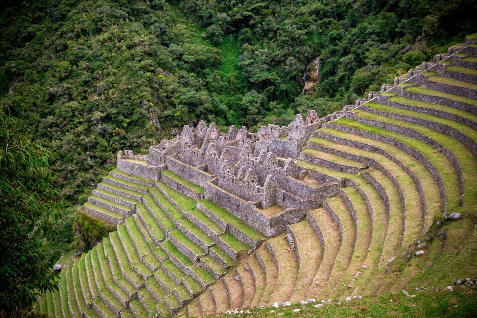
Wiñay Wayna
Wiñay Wayna sits on the upper part of the route, where the trail has already done most of its climbing. It is one of the best places to read how the grade settles into shorter steps and terrace-linked traverses before the final push.
Save energy for the terraces
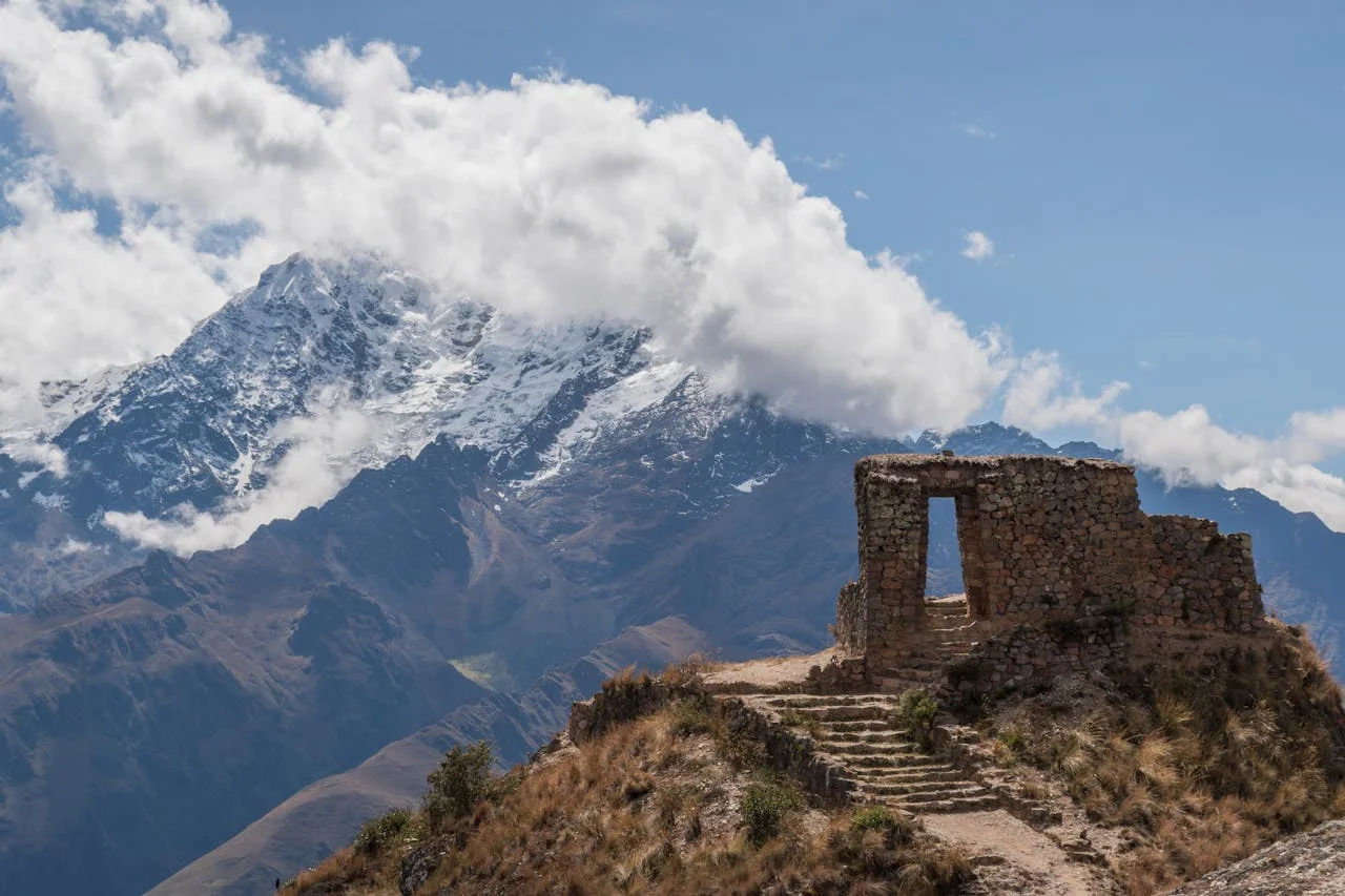
Inti Punku
Inti Punku, the Sun Gate, is the last high point before the descent into Machupicchu’s entrance area. On an elevation map, it is the landmark that tells you the steep work is nearly done and the viewpoint reward is close.
Look back for the route shape
2 Day Inca Trail Hike Elevation Map: How to Reach Piscacucho Km 82
Piscacucho Km 82 is the trailhead for the Inca Trail in the Sacred Valley of the Incas, Cusco, Peru. The simplest approach is to head toward Km 82 first, then arrive early enough to start in the morning light and cooler air.
Cusco to Urubamba route via Sacred Valley to Piscacucho Km 82
Cusco to Route 28B and Km 82, Sacred Valley of the Incas
Cusco to Piscacucho Km 82
From the control point at Piscacucho Km 82 trailhead
2 Day Inca Trail Hike Elevation Map: Pre-Hike Checklist
The two-day route climbs and drops enough that a few confirmations weeks out matter more than anything you pack the night before.
-
Secure your permit months ahead — Camino Inka permits are capped daily and sell out well in advance, even though there is no gate fee.
-
Match passport details to permit — Names and numbers are checked at the control point, and mismatches are not corrected on site.
-
Carry the physical passport — Rangers verify ID against the permit list, and a photo on your phone is not accepted.
-
Break in your boots beforehand — Sustained descents on uneven stone punish new footwear, and blisters are the most common reason hikers struggle.
-
Pack layers for altitude swings — Temperatures shift sharply between shaded climbs and exposed ridges, so removable layers beat a single heavy jacket.
-
Carry two litres plus purification — Refill points are limited between camps, and dehydration worsens altitude symptoms.
-
Allow acclimatisation days in Cusco — Arriving straight from sea level raises the risk of altitude sickness on the first climb.
-
Confirm porter and duffel weight limits — Operators enforce strict allowances, and repacking at Piscacucho Km 82 wastes time.
Check availability
Frequently asked questions about 2 day inca trail hike elevation map
Everything you need to know about 2 day inca trail hike elevation map